This introductory tutorial can support class and research projects in any discipline where students are expected to use geospatial data but may be less familiar with how to locate and access potential sources of those data. The tutorial is divided into two activities that can be used separately or in conjunction with one another depending on course- or assignment-level learning objectives. These activities may be appropriate for students at both the undergraduate and graduate level. The tutorial was designed to allow for use in in-person, hybrid, and fully online instructional contexts, and instructors could assign the activities to be completed individually or in small groups depending on course structure and goals.
Through completing this tutorial, students will:
Geospatial data are any data referenced to locations on the earth. Geospatial data provide information about the locations and shapes of, and relationships between, geographic features. For more information on finding data, see Finding Geospatial Data.
Geospatial data can be found in various types and formats. For a brief overview, see this tutorial about Types of Geospatial Information.
Locating metadata can be tricky, as it is usually recommended that data providers create some kind of metadata, but it is rarely required.
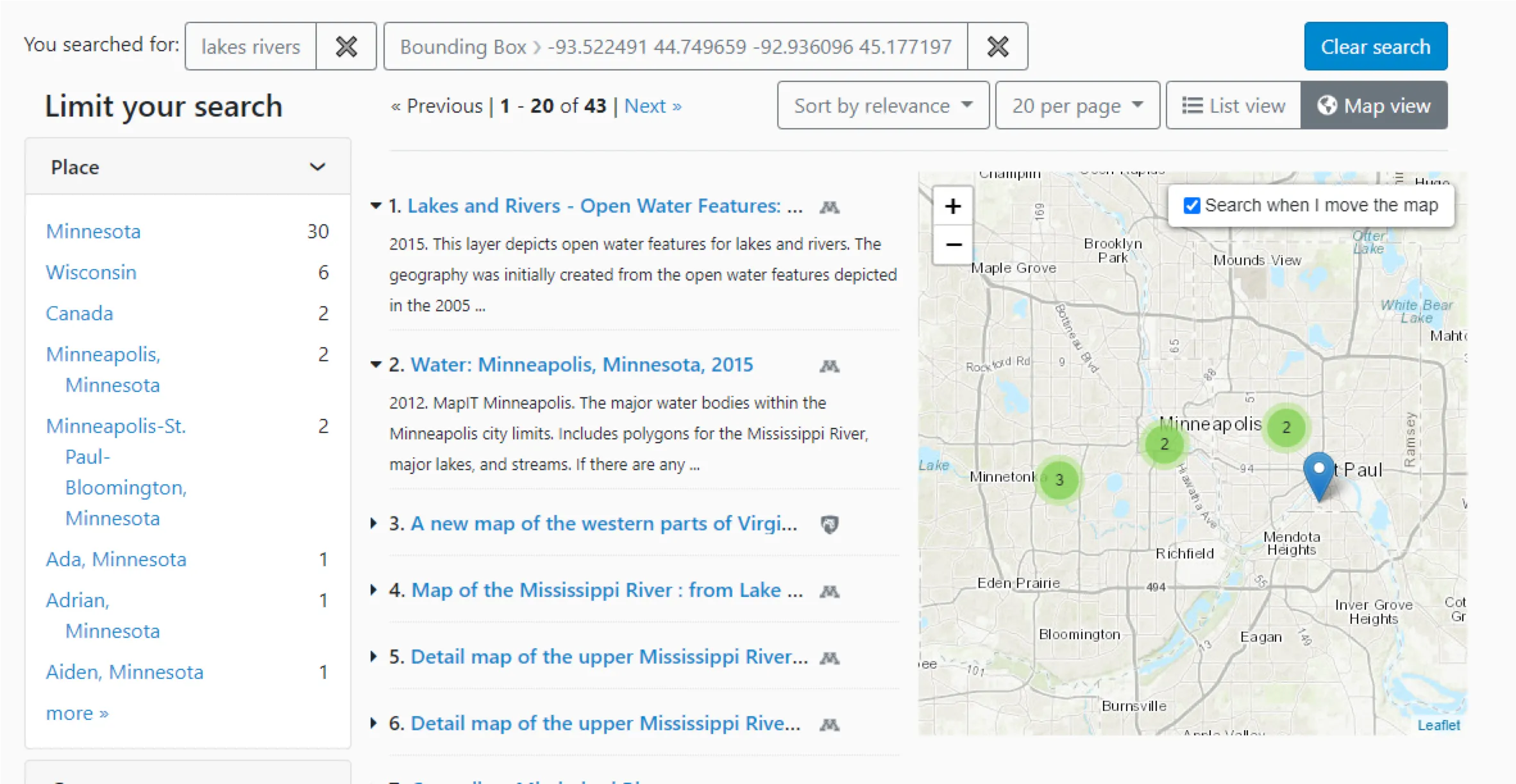
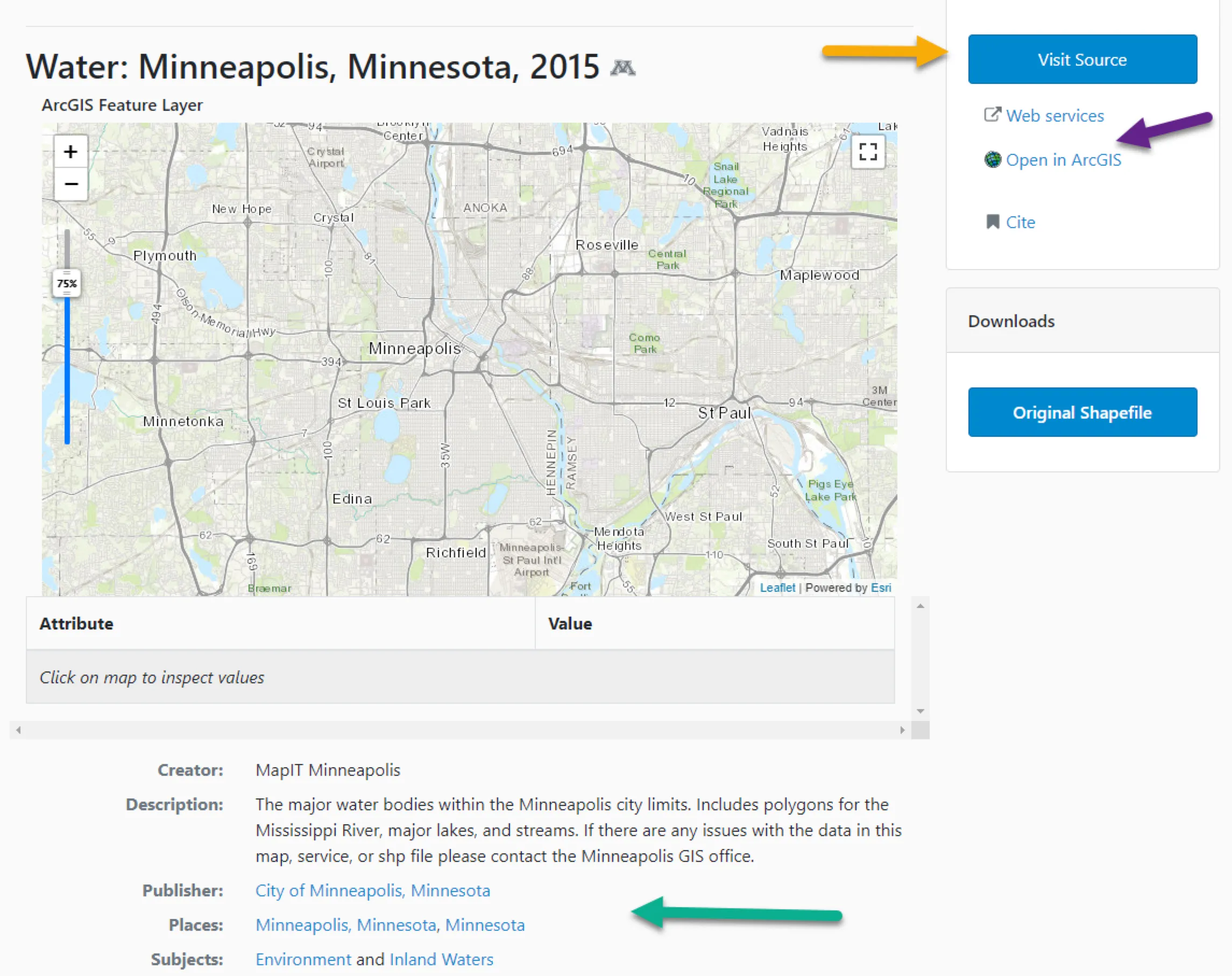
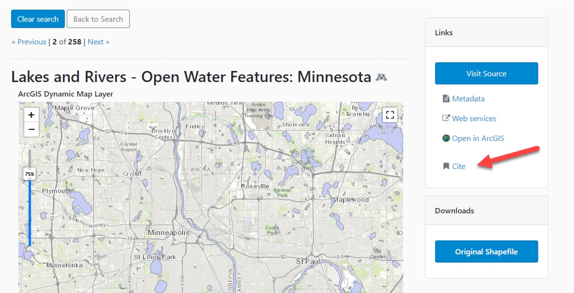
For the example below, I searched for “lakes rivers” and focused the map on the Minneapolis area. The first two results both appear to be possible options.
Use the worksheet provided to take some notes related to these questions to determine whether or not metadata exists for a given resource.
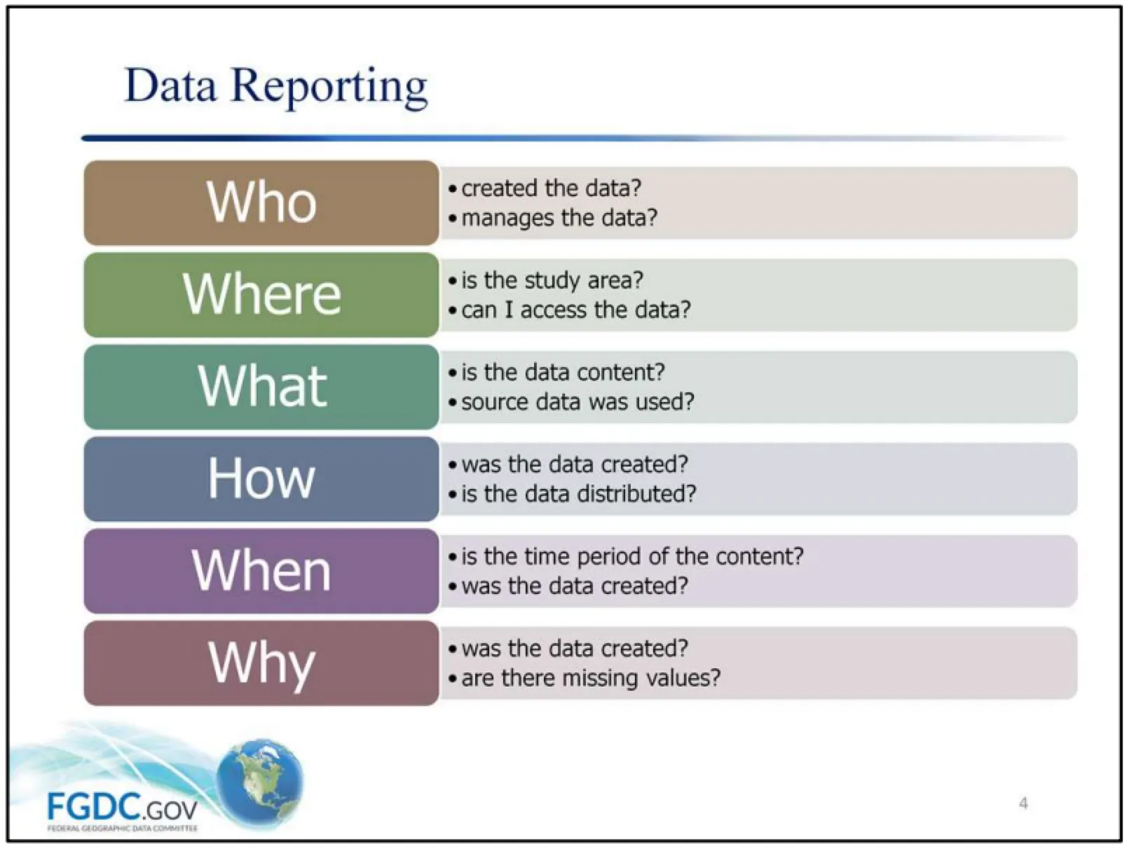
The Federal Geographic Data Committee has a good definition of metadata:
“Metadata is information about data. Similar to a library catalog record, metadata records document the who, what, when, where, how, and why of a data resource. Geospatial metadata describes maps, Geographic Information Systems (GIS) files, imagery, and other location-based data resources.”
Though it often involves extra steps beyond finding useful geospatial data, the evaluation of the data is equally important.
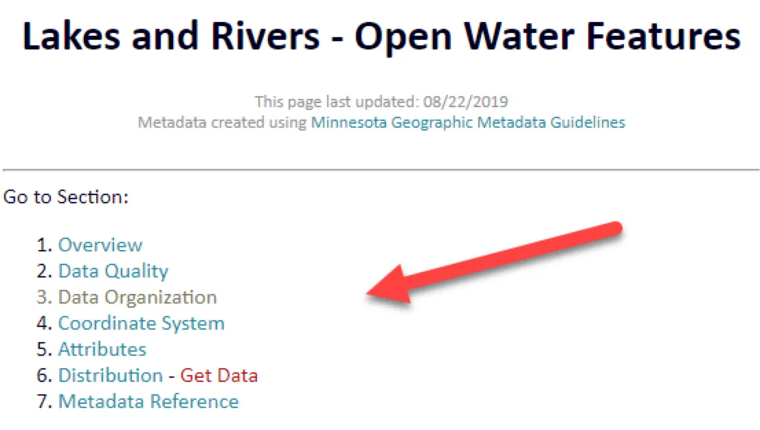
Metadata records are often split into different categories of information.
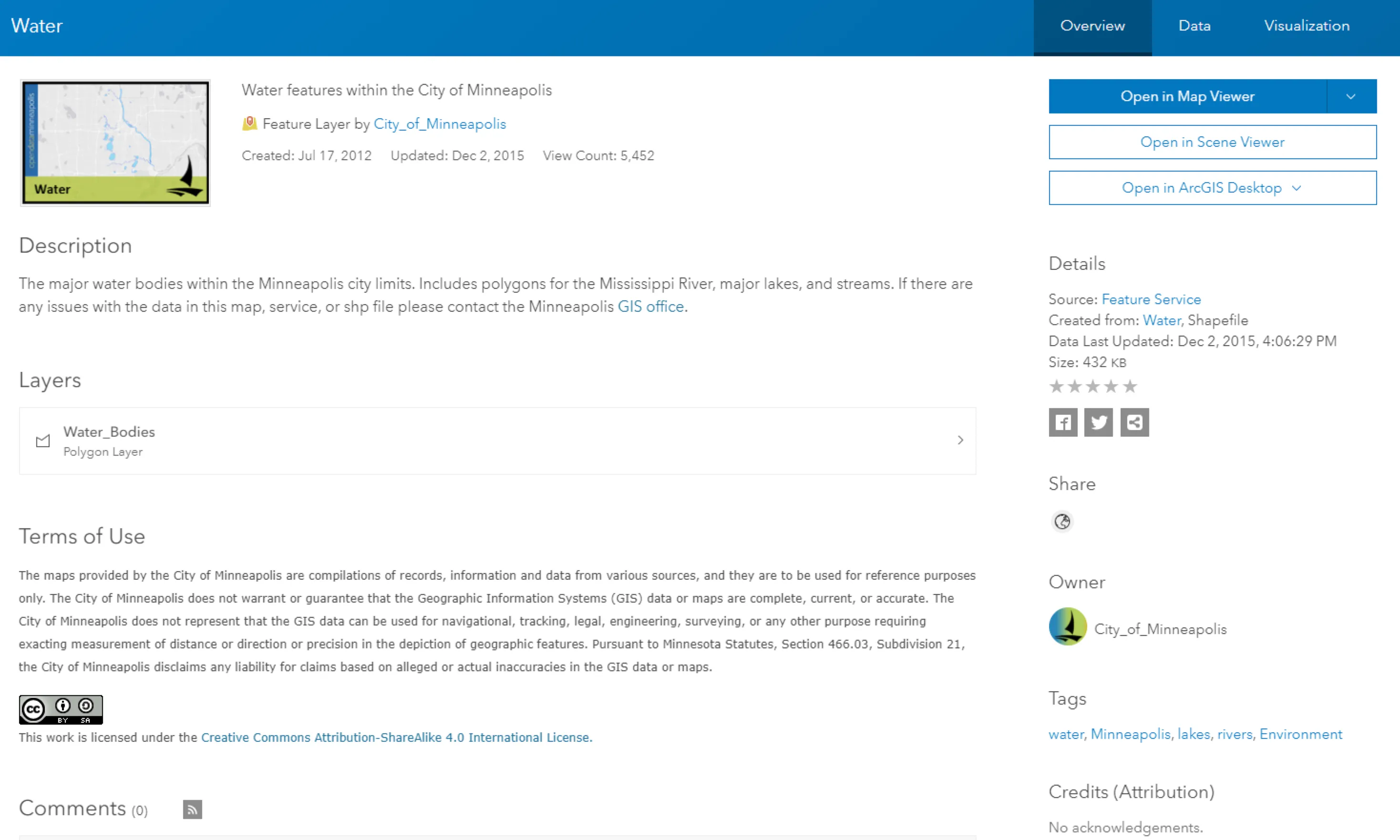
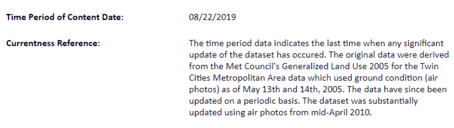
For example, the metadata might contain information about when the data was published or last edited, but also about when the data was originally created
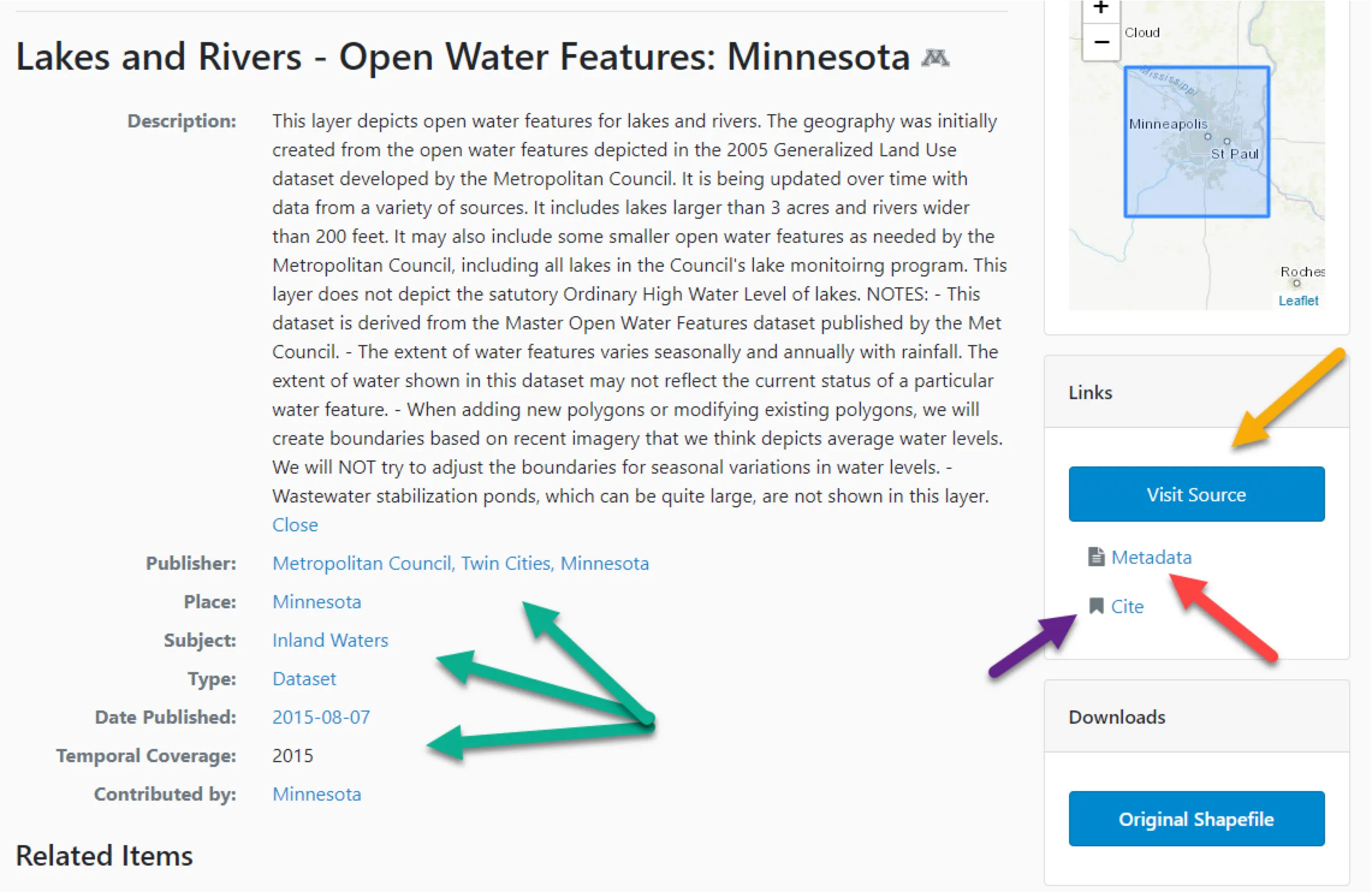
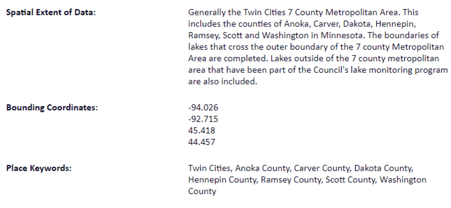
The metadata will usually have bounding coordinates, but might also have a textual description of the spatial extent.
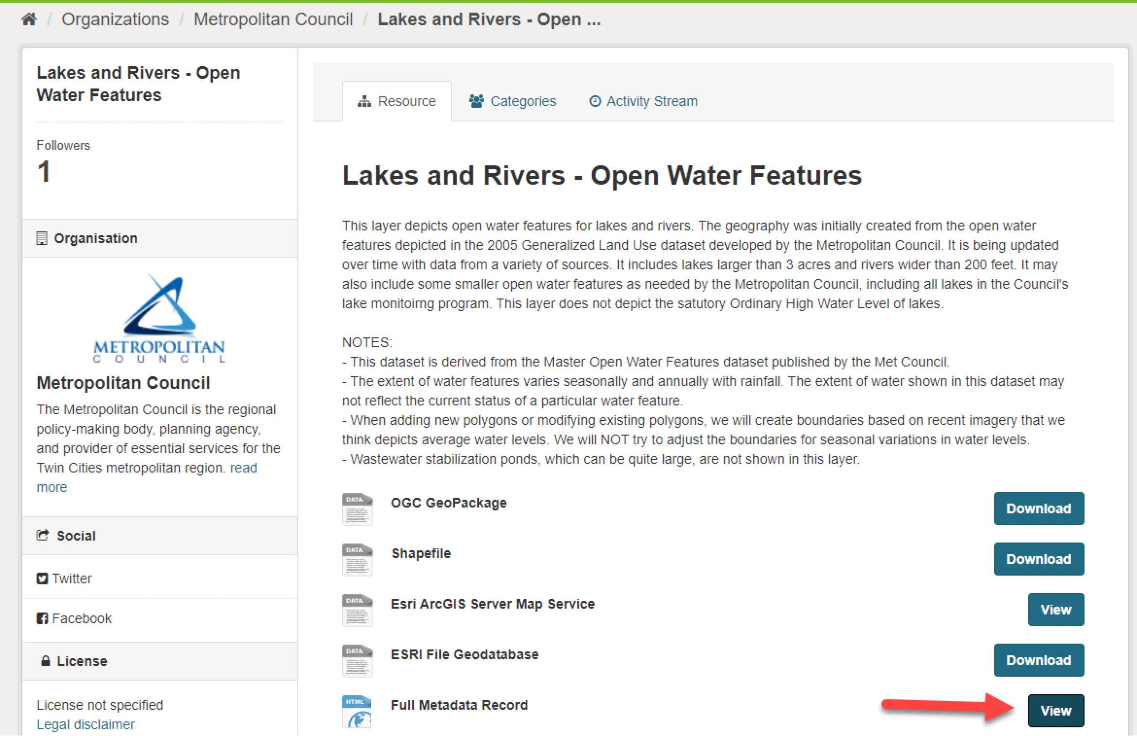
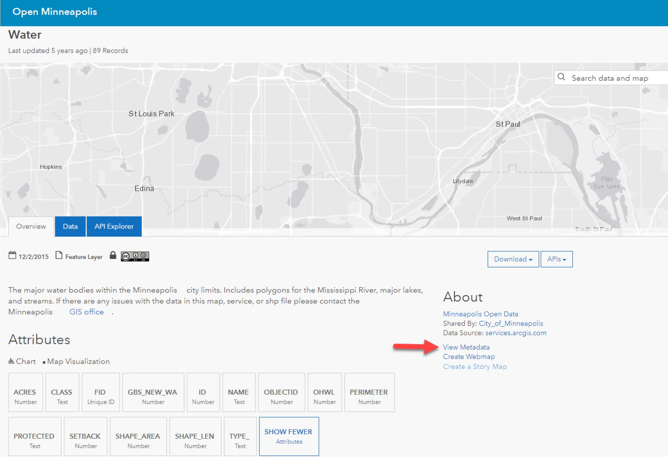
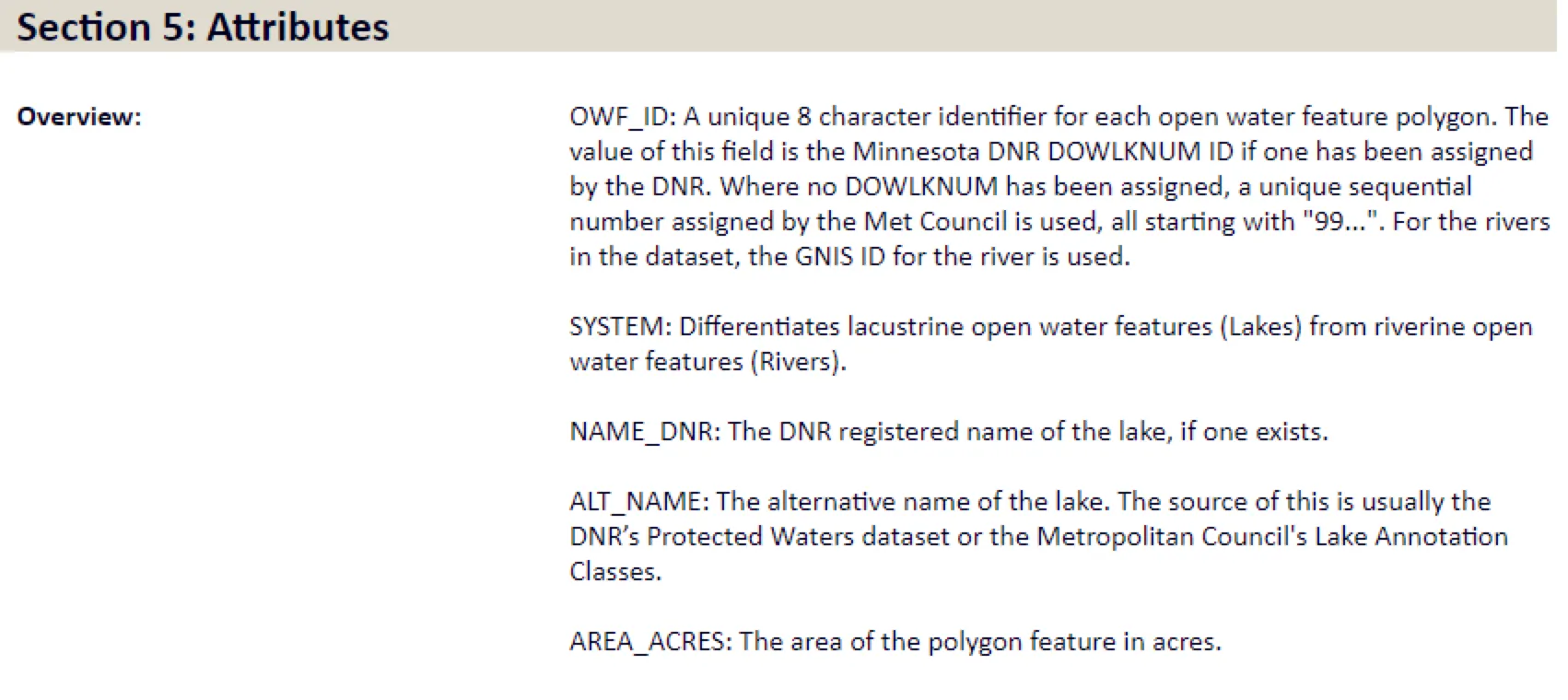
The metadata often contains information about what attribute information is included, which can be important in selecting the right data for your project, and can also help decode the attribute names.
Some data might be public domain.
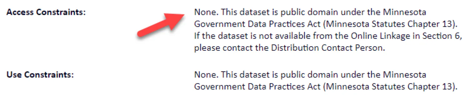
While other data may be available, but have some restrictions on reuse.
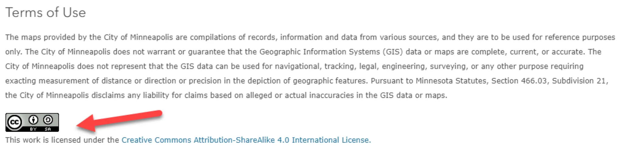
Data attribution and citation is also important, as it allows others to examine and/or replicate your work. In the BTAA Geoportal, we provide a “Cite” link which will give you basic citation information about the data
Use the worksheet provided to review available metadata to evaluate a geospatial dataset for authority, quality, and fitness for use.
Additional resources for evaluating geospatial information:
Spatial Reference Information: Introduction to Spatial References (Esri)