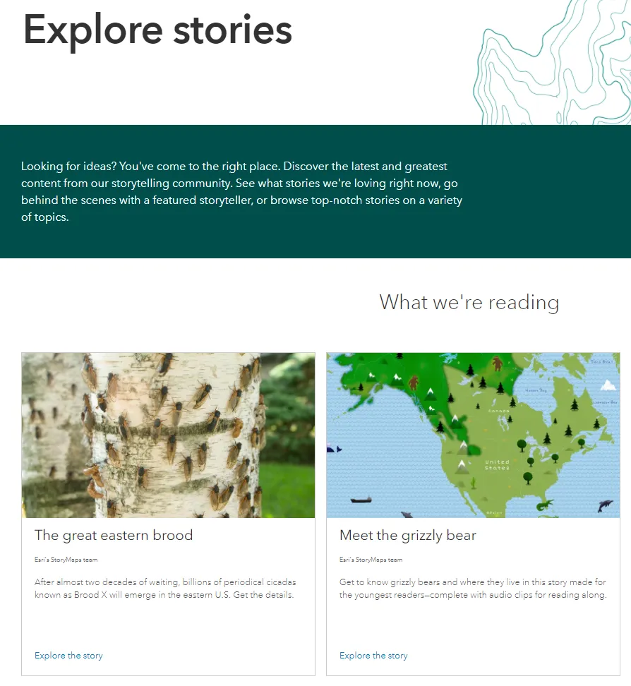
Story Maps are an application within ArcGIS Online which allows you to integrate web maps with text, images, and other multimedia content.
Story Maps allow you to:
- Put your web maps in context
- Compare web maps and data sets
- Experiment!
Story Maps are an application within ArcGIS Online which allows you to integrate web maps with text, images, and other multimedia content.
Story Maps allow you to:
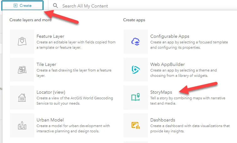
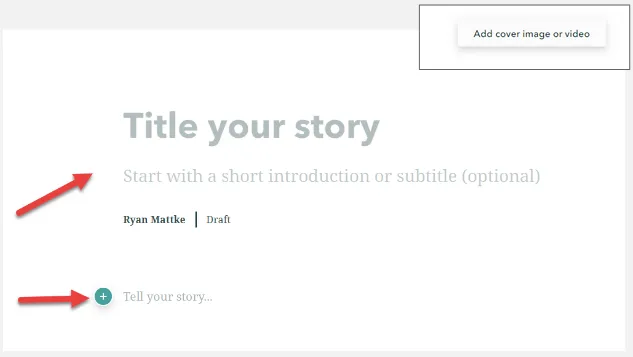
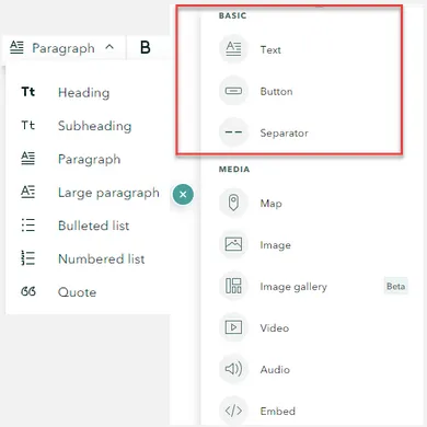
Basic options for content:
Text ‒ Options include heading, subheading, paragraph, large paragraph, bulleted list, numbered list, and quote
Button ‒ To highlight a link with text
Separator ‒ Insert a horizontal line
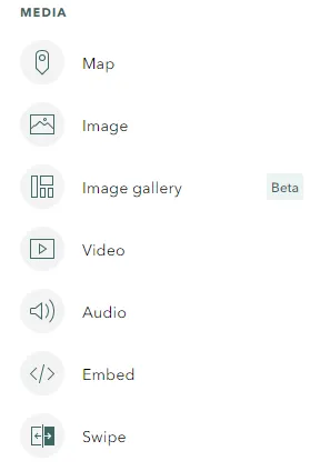
Media options for content:
Map ‒ Insert a web map or web app from ArcGIS Online
Image ‒ Upload or link to a jpg, png, gif, or svg file
Image Gallery ‒ Insert a gallery of up to 12 images
Video ‒ Upload or link to video content
Audio ‒ Upload or link to audio content
Embed ‒ Embed using iframe code or a web url; this could be a website, or even another story map
Swipe ‒ Compare two web maps or images
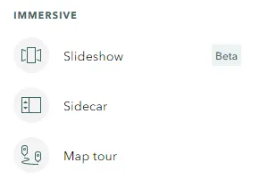
Once you have the basics down, try something a little more fancy… Immersive options for content:
Slideshow ‒ Full screen, media-focused layout
Sidecar ‒ Stationary text/media panel with a scrolling narrative panel that can include web maps
Map tour ‒ Showcase a set of locations
Example Story Map from the Big Ten Academic Alliance Geospatial Data Project with the following features:
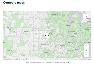
Compare maps
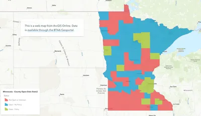
Embedded web map

Compare images