Skip to content

Big Ten Academic Alliance (BTAA) GIS Conference

Promoting collaborations

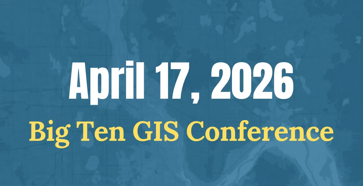
Established in 2020, the BTAA GIS Conference is a virtual event organized by geospatial information users and educators in Big Ten institutions to present their work, exchange information, and develop potential collaborations. It is open to all participants, including those outside of the BTAA network.

  • Sharing research

    Our presentation and lightning talk sessions feature a range of topics and approaches related to GIS, maps, & spatial data.
  • Showcasing projects

    Our ongoing map gallery ↗ features dozens of entries and showcases both interactive maps & standalone cartography.

Keynote speeches from Past Conferences

  • 2023

    Reading Maps: Making, Searching, and Interpreting Text on Maps by Kate McDonough


  • 2022

    Our Home on Native Land: Connecting People and Stories using Indigenous Geographies by Tanya Ruka and Rudo Kemper, Native Land Digital


  • 2021

    American Domesday by Dr. Robert Lee

    The Population Data Buffet: Choosing the right data for your project by Dr. Tracy Kugler

More videos

Visit past conference pages to see the full playlists from each event.