The Journal of Map & Geography Libraries has named two publications led by members of the BTAA Geospatial Information Network (BTAA-GIN) as Best Papers of the Year for 2024. This is a remarkable recognition of work emerging from BTAA-GIN’s collaborative efforts to advance geospatial metadata standards and preservation practices.
Ephemeral Geodata: An Impending Digital Dark Age
By Karen Majewicz, Ryan Mattke, and Melinda Kernik (University of Minnesota) and Jaime Martindale (University of Wisconsin-Madison). This paper grew directly out of BTAA-GIN’s collaborative work on geodata collection. It warns of the rapid disappearance of public geospatial data and calls on libraries to develop archiving strategies.
OpenGeoMetadata Aardvark: A New Geospatial Metadata Application Profile
By Karen Majewicz (University of Minnesota), Rebecca Seifried (UMass Amherst), and Susan Powell (UC Berkeley). This paper introduces a community-driven metadata profile for the discovery and reuse of geospatial resources. BTAA-GIN’s metadata practices have influenced the schema.
The awards committee praised both articles for demonstrating that effective metadata practices are essential to discovery, access, and long-term preservation, reflecting the evolving role of map librarians as curators and advocates for open, sustainable geospatial data infrastructures.
Congratulations to Karen, Ryan, Jaime, and Melinda on this honor and on representing BTAA-GIN’s collective commitment to collaboration, openness, and stewardship.
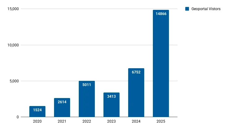
Drafting Geoportal Feature Requirements (homepage, collections, mobile experience, integrations).
Exploring a gazetteer feature to generate spatial hierarchies and improve map search and navigation.
Exploring metadata licensing options to support aggregation of OpenGeoMetadata records.
Community Engagement
Continued refining the committee charter, updating core duties and roles for presenters and facilitators.
Reviewed geoportal flyer and bookmark drafts; collecting feedback on messaging and outreach materials.
Discussed creating a shared outreach kit to support consistent communications across presentations.
Reflected on Big Ten GIS Conference participation and planning next steps for 2025 engagement.
Knowledge
Preparing for the BTAA-GIN Strategic Planning Retreat, focusing on major projects: GIS Conference, Geoportal relaunch, and Urban Base Layers.
Will help define 3 to 5 GIN-wide strategic priorities and identify committee contributions, deliverables, and resource needs.
Coordination
Reviewed committee activity and carryover goals, including Tech’s API/interface transition, CEC’s charter revisions and outreach planning, and Knowledge’s upcoming priority projects.
Preparing for the BTAA-GIN Strategic Meeting to strengthen connections, clarify project roles (Geodata Collection, Geoportal, GIS Conference), and define shared priorities for FY26-FY28.
Discussed meeting culture and engagement, interest in bringing back short “sprint” sessions, and providing structured + unstructured time for collaboration and planning.
Advanced the Urban Base Layers project through scheduled onboarding meetings with potential city partners in Columbus, Milwaukee, Philadelphia, and Baltimore.
Developed a panel discussion to present project progress and clarify curation roles at the upcoming BTAA-GIN in-person strategic planning retreat in November.
We completed a project to review and update all the websites that previously could not be parsed programmatically and relied on static download files. During the review, we found over a dozen new ArcGIS Hub sites that are now fully harvestable and removed many broken or outdated links. This work also included improvements to the Provenance section of our metadata schema, making it easier to track the source and selection process for our records.
Our web development work has been focused on creating the BTAA Geospatial API and frontend.
API and Interface Deployment: We deployed dev versions of the FastAPI and React applications to the OIT virtual machine using Kamal.
Improved Search Features: The API now supports advanced search options like Boolean, field-specific, and spatial queries, plus new include/exclude faceting.
Bug Fixes and UI Updates: Several minor interface bugs were resolved and facets now have the options to “exclude” values
Ongoing Work: We are continuing to refine the frontend design, improve accessibility, and incorporate analytics.