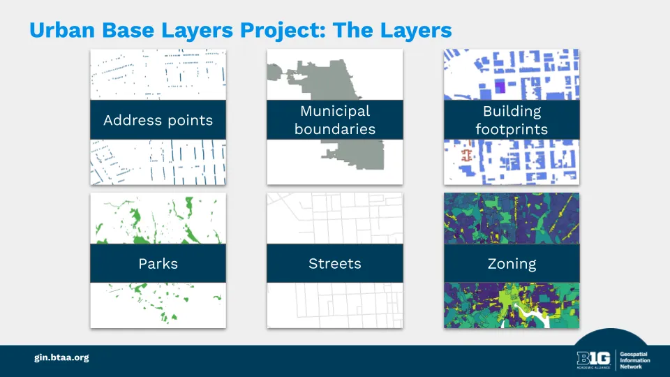
We collect six core datasets from each participating city:
- Address points
- Building footprints
- City boundaries
- Parks
- Streets
- Zoning districts

Summary:Overview of the project to collect geospatial data from major cities.
The Urban Base Layers project is a curated collection of foundational geospatial datasets from major cities across the Big Ten region. These datasets support research across many disciplines, including housing studies, land use, urban planning, environmental change, and civic infrastructure. The project’s goal is to make these resources easy to find, well documented, and accessible for both current and future researchers.
We collect six core datasets from each participating city:
Datasets retrieved from open data portals are processed by BTAA-GIN staff and published in the BTAA Geoportal (geo.btaa.org) with full source attribution and publication date labeling. BTAA-GIN creates and maintains the metadata; the originating city or agency retains credit as the data provider.
Published records are publicly accessible and citable. When researchers need historical versions of urban datasets, the BTAA Geoportal provides a documented point of access — extending the useful life of data that cities have already made available.
BTAA-GIN does not claim preservation authority over these datasets. We make them discoverable and well-described within an academic library context.*
The Urban Base Layers project is the first collection in our Geodata Collection initiative.